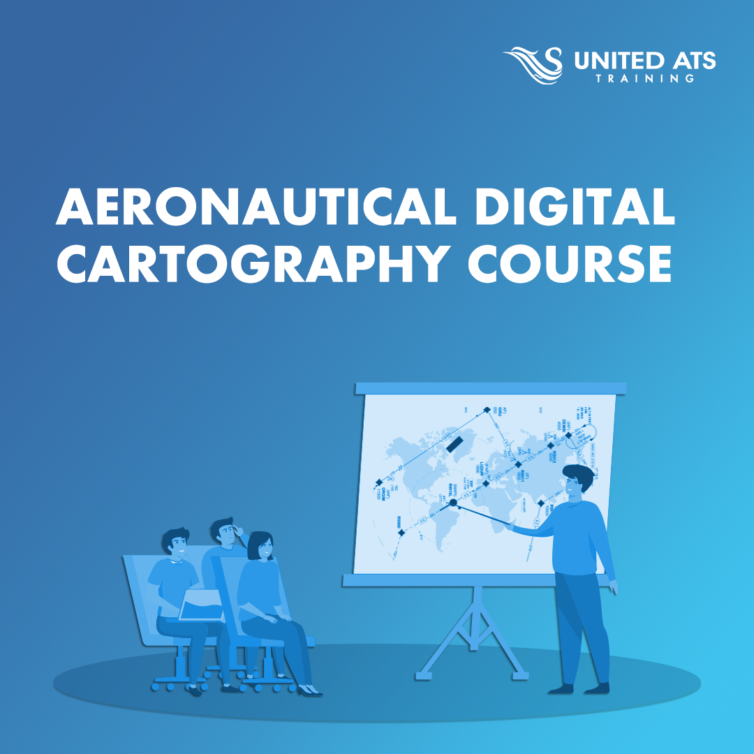
Aeronautical Digital Cartography
Introduction
Objectives
After having successfully completed this course, the trainees will be able to:
- Collect Aeronautical data sources and basses.
- The main content of the aerodrome, Type A&B chart
- Create Instrument approach chart.
- Create SIDs & STARs chart.
- Define the shape of the Earth.
- Define Coordinate system and projection.
- Define projection and WGS84 datum.
- The types of Aeronautical data
- How to use AutoCAD
- How to create digital contour lines
Who Sould Attend
- Cartographer
- ATCs AIS officers & ATS officers
Course Content
- 1 - Module 00 - Course Introduction
- 2 - Module 01 - Geodesy
- 3 - Module 02 - Measurements Conversion & Scales
- 4 - Module 03 - AutoCAD Tutorials
- 5 - Module 04 - Aeronautical Charts of Annex 4
- Exam
Prerequisite
Basic Cartography Course
Location
Cairo - EgyptCourse Code
U014Course Duration
10 Daythis course is not planned Request Now
Ask Qustion
Download in PDF