World Geodetic System - WGS 84
Introduction
Objectives
By the end of course trainees will be able to:
- Introduced to World Geodetic System 1984.
- Introduced to Problems in Geodesy.
- Identify Accuracy, Resolution and Integrity of Aeronautical Data.
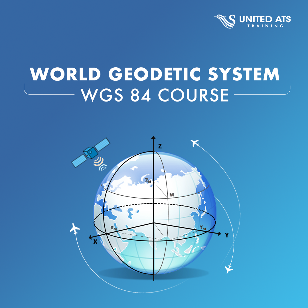
- Define WGS-84 Coordinate System and its Accuracy.
- Identify different scenarios of obtaining WGS-84 Coordinates.
- Introduced to Aeronautical Survey Requirements and data collection and survey methodology.
- Define Data quality and Quality assurance.
- Introduced to GNSS, ITRF, and Map Projections.
Who Sould Attend
- AIS officers and operation officers of the aviation companies.
- Cartographer
- Inspectors and Regulators, Flight Procedures Designers, and Aerodrome Service Providers ATC, Airport Engineers and Pilots.
- CAA
- ATCs AIS officers & ATS officers
Course Content
- Module 01: Geodesy
- Module 02: Errors
- Module 03: Datum and WGS 84
- Module 04: Map Projections
- Module 05: Spherical Triangles and Their Applications
Prerequisite
Flight Procedures Designers and working in the Air Navigation Services.
Location
CairoCourse Code
U194Course Duration
10 Daythis course is not planned Request Now
Ask Qustion
Download in PDF